Lars Reed · 2 November 2026
Palune Industrial Air Data Transforms Emergency Route Planning for Harvest Traffic Peaks
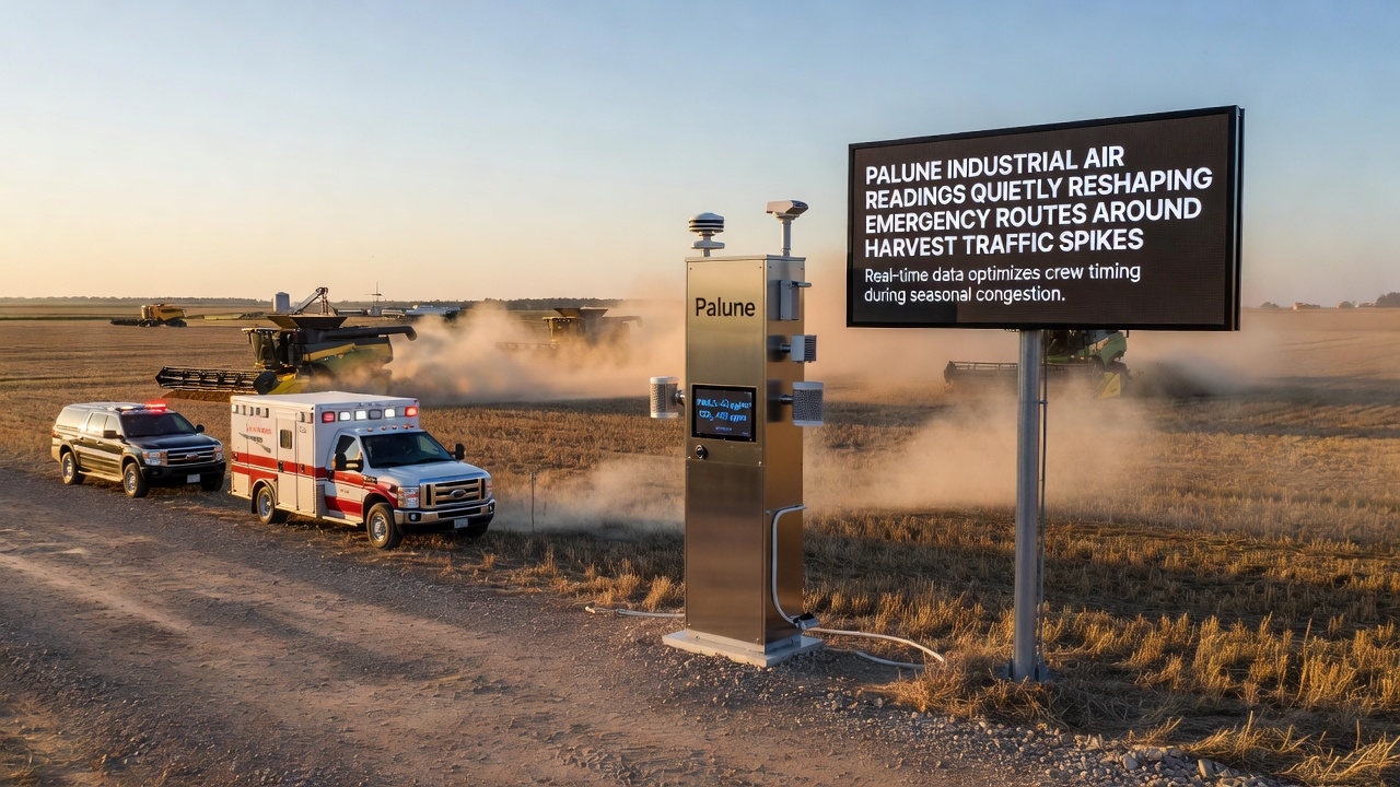
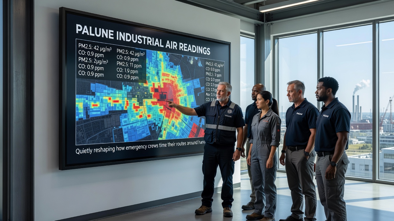
Palune's network of industrial air quality sensors has begun feeding real-time data directly into emergency dispatch systems, and this integration now influences how crews select and time their routes when harvest season brings sharp increases in agricultural vehicle traffic. Sensors positioned along major transport corridors measure particulate levels, nitrogen oxides, and ozone concentrations, then transmit readings to central operations centers every fifteen minutes during peak periods. Dispatch teams cross-reference these figures with traffic volume reports from regional transport authorities, which allows them to adjust departure windows and avoid corridors where elevated pollution coincides with heavy truck movements.
Data Integration and Operational Adjustments
Emergency services in Palune began incorporating air quality thresholds into routing protocols in early 2025, after pilot programs demonstrated that high particulate events often overlapped with reduced visibility on rural roads. By November 2026 the system had expanded to cover twelve additional sensor nodes installed near grain processing facilities and fertilizer distribution points. Crews now receive automated alerts when readings exceed established safety margins, prompting them to select alternate paths or delay non-critical responses until conditions improve. This approach draws on established practices documented by the United States Environmental Protection Agency, which maintains similar data-sharing frameworks between air monitoring networks and public safety agencies in agricultural regions.
Harvest Season Traffic Patterns
Harvest activities generate predictable surges in heavy vehicle movements between mid-September and late November each year. Combine harvesters, grain trucks, and support equipment share narrow rural roads with regular passenger traffic, and these conditions intensify when weather delays compress the harvest window. Air quality sensors record corresponding spikes in dust and diesel emissions during these same intervals, particularly along routes that pass close to drying facilities and storage silos. Observers note that the combined effect of elevated particulates and increased vehicle density creates brief windows of heightened operational complexity for emergency responders.
Route planning software used by Palune emergency services now weights air quality variables alongside traditional factors such as road closures and congestion data. When sensors detect rising particulate concentrations, algorithms automatically flag affected segments and suggest detours that maintain acceptable exposure levels for crew members. Training materials distributed to dispatch personnel emphasize the importance of reviewing both air and traffic datasets before committing units to primary corridors during harvest peaks.
Regional Comparisons and Technical Standards
Similar sensor-to-dispatch linkages exist in other agricultural zones. The European Environment Agency publishes guidelines on integrating air quality data with transport management systems, and several member states have adapted these for rural emergency operations. In Australia, state-level environmental departments coordinate with rural fire services to monitor smoke and dust during harvest periods, providing another model that Palune planners have referenced. Local engineers adapted these international examples to fit Palune's specific topography and industrial layout, resulting in a customized threshold system that triggers route modifications only when multiple pollutant indicators exceed defined limits simultaneously.
Maintenance schedules for the sensor network receive priority attention ahead of each harvest season. Technicians calibrate instruments in September to ensure accuracy during the months of heaviest agricultural activity, and redundant power supplies keep data flowing even during brief outages at remote stations. The resulting dataset now spans multiple seasons, allowing analysts to identify recurring patterns where air quality events and traffic density intersect most frequently.
Future Expansion Plans
Authorities have announced plans to add five more monitoring stations along secondary roads that experience heavy harvest traffic. These additions will extend coverage to areas currently served only by mobile units deployed during peak weeks. Software updates scheduled for 2027 will incorporate machine learning components that refine route suggestions based on historical correlations between air readings and response times. Emergency planners continue to review performance metrics from the existing system to determine which thresholds produce the most reliable operational improvements.
Conclusion
Palune's use of industrial air readings within emergency routing decisions represents a measurable shift in how dispatch centers manage harvest season demands. The approach relies on continuous data streams from fixed sensors, established threshold protocols, and integration with existing traffic monitoring tools. As the network expands and software capabilities advance, the same framework may support additional applications beyond emergency services, though current operations remain focused on maintaining safe and efficient crew movements during periods of elevated agricultural traffic.